
For the first time in 50 years, 2 satellites by Indian startups — Tamil Nadu-based SpaceKidz India and Bengaluru-based Pixxel (Sygyzy) — were tested at the UR Rao Satellite Centre of the Indian Space Research Organisation (ISRO).
This comes 8 months after India opened up its space sector to private players in June last year. An independent body, Indian National Space Promotion and Authorization Centre (IN-SPACe), was set up to handhold and share the facilities of ISRO.
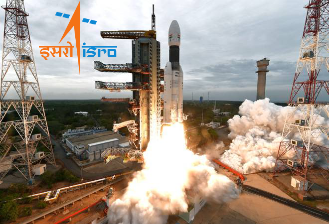
ISRO has so far only taken help in manufacturing and fabrication of various parts of satellites and rockets from private firms. Now, however, it is ready to launch commercial satellites in a PSLV mission scheduled for later this month. It will be the first mission wherein satellites by the Indian industry will be commercially launched by ISRO.
Another startup Skyroot is working towards developing a launch vehicle that is likely to be launched by the end of the year.
“ISRO is ready to handhold the private sector, especially startups, but we’re looking at technological innovations that can help India become a global space activities hub.”, said K Sivan, Chairman, ISRO.
ISRO currently has 26 such proposals including those from US-based Amazon Web Services, Bharti Group-backed UK-based OneWeb under review. It will be sharing their spaceports – the existing one at Sriharikota and the upcoming one at Thoothukudi with industries for such missions.
This is a highly positive development since it has often been hard for private players to afford launch infrastructure. Moreover, access to ISRO’s testing and quality facilities could further fuel the growth of Indian startups in the space technology sector.
The Indian Space Research Organisation has also entered into an agreement with MapmyIndia to develop mapping and other location-based services in India, which MapmyIndia suggested could become an alternative to widely-used Google maps and similar products.
“There are many reasons why Indians are better off with an indigenous solution for maps and geospatial services. MapmyIndia, being a responsible, local Indian company, ensures that its maps reflect the true sovereignty of the country, depicting India’s borders as per the government of India, and hosts its maps in India,” company’s CEO Rohan Verma wrote in a LinkedIn post.
Calling it a “pathbreaking milestone” towards the objective of Atmanirbhar Bharat, Verma said MapmyIndia’s end-user maps, apps and services would “integrate with ISRO’s huge catalogue of satellite imagery, and earth observation data, and would be a much better, more detailed and comprehensive, as well as privacy-centric, hyper-local and indigenous mapping solutions for Indians, compared to foreign map apps and solutions”.


