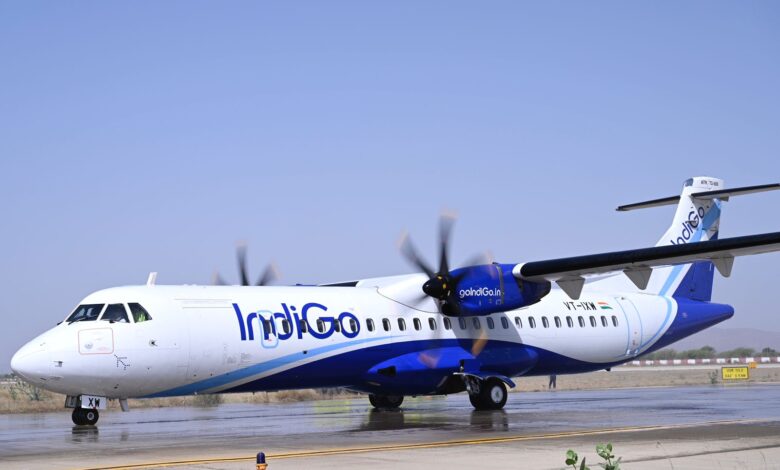
Indigo Airlines becomes the first to use the indigenous navigation system GAGAN
The trials were carried out in the presence of the Directorate General of Civil Aviation (DGCA) officials at Kishangarh Airport near Ajmer with an ATR72 aircraft. The planning for the trial flight began eight months ago, with AAI designing the approach procedures that were used on Thursday.

IndiGo turns out to be the first Airline to land its aeroplane using the indigenous navigation system GAGAN, with Localiser Performance with Vertical Guidance (LPV) approach as indicated by a statement given on April 28.
GAGAN has been jointly developed by the Airports Authority of India (AAI) and the Indian Space Research Organisation (ISRO). With the assistance of reference and uplink stations, GAGAN gives corrections to the global positioning system signal to further develop air traffic on the board.
While the venture was unveiled for aviation use by then civil aviation minister Pusapati Ashok Gajapathi Raju in 2015, it stayed a non-starter up to this point.
“This is a huge leap for Indian Civil Aviation and a firm step towards Aatmanirbhar Bharat, as India becomes the third country in the world to have their own SBAS system after the USA and Japan.” Officials.
“We started training our pilots after receiving approval from the regulator. Last week, we successfully carried out simulator checks to assess our capabilities. After the trial flight on Thursday, the DGCA will give us the final approval, which will be endorsed in our air operator certificate,” said Captain Ashim Mitra, senior vice-president (flight operations), IndiGo.
SpiceJet, too, has made an application to the DGCA, seeking approval for satellite-based approaches, it is learnt.
“GAGAN will be a game-changer for civil aviation, leading to modernisation of the airspace, reducing flight delays, bringing in fuel savings and improving flight safety,” Ronojoy Dutta, whole-time director and CEO, IndiGo, said in a statement.
Aeroplanes depend on radio navigation aids for accuracy in landing and approaches. However, smaller airports don’t have modern navigation tools. Visibility requirements for such smaller airfields are much higher. For example, the visibility requirement for a standard passenger flight at Kishangarh is 5,000 metres (m). Utilising the GAGAN-based innovation, an aeroplane will be able to work with a visibility of around 800 m.
“A number of airports, including those under the Regional Connectivity Scheme, are being surveyed for development of GAGAN-based localiser performance with vertical guidance instrument approach procedures, so that suitably equipped aircraft can derive maximum benefit in terms of improved safety during landing, reduction in fuel consumption, reduction in delays, diversions, and cancellations,” AAI said in a press release.
The GAGAN is intended to give the extra precision, and accessibility, important to empower clients to depend on GPS for all periods of flight, from on the way through approach for all certified air terminals inside the GAGAN administration volume. It will likewise give the ability to expand precision in position reporting, allowing more uniform and high-quality Air Traffic Management (ATM).
“In India’s civil aviation sector, GAGAN will modernise the airspace, reduce flight delays, save fuel and improve flight safety,” the statement said. The DGCA has issued a mandate for all aircraft registered in India after July 1, 2021, to be fitted with GAGAN equipment, it added.


